Blog, Hurricane Season
Understanding and preparing for hurricane evacuation is crucial not just for ensuring personal safety, but also for safeguarding your property. This detailed guide provides comprehensive information about hurricane evacuation routes and zones in Florida, equipping you with the knowledge needed to effectively prepare before, during, and after a hurricane.
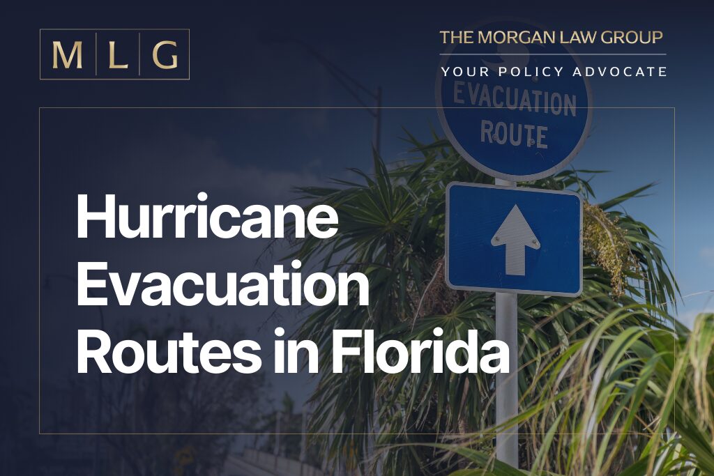
Designated Hurricane Evacuation Routes in FL
The designated evacuation routes are primarily major highways and thoroughfares that facilitate an efficient exit from high-risk areas. These include:
- Interstate 10 (I-10): I-10 is a vital route for residents moving westward away from the most immediate coastal threats.
- Interstate 75 (I-75): This interstate is especially significant due to its capacity and the direct access it provides to northern safe havens.
- Interstate 95 (I-95): This route is vital as it parallels the coast, making it a primary evacuation path for communities facing direct impacts from hurricanes approaching from the Atlantic.
In addition to the primary evacuation routes already mentioned, Florida’s emergency management has designated several other major highways and state roads to support evacuation efforts across different regions:
- US Highway 1 (US 1): Running along the eastern coastline of Florida, US 1 is an essential route for evacuees from the Florida Keys and other coastal areas up through the Atlantic side of the state.
- US Highway 19 (US 19): Running parallel to the Gulf Coast, US 19 serves residents in the western parts of the state, providing access northward through cities like St. Petersburg, Clearwater, and beyond.
- US Highway 27 (US 27): This highway offers a central route through the heart of Florida, providing an alternative to the coastal highways for residents from the southern parts of the state moving northward.
- US Highway 41 (US 41): Also known as the Tamiami Trail in parts, US 41 assists with the evacuation of southwestern parts of Florida, heading north through Tampa and into the northern regions.
- US Highway 301 (US 301): Acting as an auxiliary route to I-75, US 301 supports evacuation efforts by providing additional capacity and serving as an alternate route to avoid congestion on the interstate.
- Florida Turnpike: It is a vital route for residents evacuating from central and eastern parts of the state, helping to alleviate traffic from I-95.
Florida’s Division of Emergency Management (FDEM) collaborates with local governments to ensure these zones are accurately demarcated and regularly updated based on the latest data and storm behavior models. For detailed maps of evacuation zones and routes, visit Florida’s disaster preparedness maps.e
Importance of Knowing Your Hurricane Evacuation Zone
Florida’s strategic approach to managing hurricane threats includes the designation of specific hurricane evacuation zones in Florida. These zones are meticulously mapped out based on potential storm surge flooding, which is the abnormal rise of water generated by a storm, over and above the predicted astronomical tides.
Evacuation zones are classified alphabetically from A to F:
- Zone A: This zone includes areas that will be first affected by storm surges from even less intense hurricanes.
- Zone B, C, D, and E: These zones are identified based on a gradient of vulnerability, with B being the next most vulnerable, followed by C, D, and E.
- Zone F: Zone F is typically among the last to be evacuated, suggesting it faces a lower risk of storm surge compared to earlier zones (A-E).
For residents, knowing your hurricane evacuation zone is crucial for several reasons:
- Safety and Preparedness: Understanding whether your property is in a high-risk area allows you to prepare adequately for potential evacuations each hurricane season.
- Insurance and Property Protection: For homeowners and property owners, knowing the evacuation zone can inform insurance decisions and strategies for property protection.
- Evacuation Efficiency: During a hurricane, knowing your zone helps you respond quickly to evacuation orders, reducing traffic congestion and facilitating smoother community-wide evacuation processes.
Residents can check their evacuation zone by entering their address on the Florida Disaster’s official Know Your Zone website. This resource is invaluable for both year-round and seasonal residents, ensuring that everyone is well-informed and can take proactive steps toward hurricane preparedness.
Florida Evacuation Orders: When Should You Evacuate?
Local authorities issue evacuation orders based on the predicted impact of an approaching hurricane. Residents should pay close attention to these orders and understand the differences:
- Mandatory Evacuation Orders: Issued when a hurricane poses an imminent threat to life and property, mandatory evacuations are non-negotiable directives from authorities. They are enforced when the expected impact of the hurricane, such as high winds and severe flooding, makes remaining in the area untenable. These orders often affect the most vulnerable zones – typically coastal areas and low-lying regions where storm surges and flooding can cause catastrophic damage.
- Voluntary Evacuation Orders: These orders are issued in less critical situations or for areas that might not be directly in the hurricane’s predicted path but could still experience significant adverse conditions. Voluntary evacuations are advised for individuals who may not be compelled to leave by law but should consider relocating to safer areas – especially those with special needs, such as the elderly, families with small children, and people with disabilities.
Evacuation orders in Florida are a critical component of the state’s hurricane preparedness and response strategy. Adhering to these orders can mean the difference between safety and disaster. Always prioritize safety and plan ahead, knowing that the right decision at the right time can safeguard lives and property.